Study sites
Over view
All studies are carried out on 3 continents (Asia/Oceania, Africa and North America) to achieve generalization and impact, and to test biogeographic hypotheses. All studies are carried out along a climatic gradient (dry and wet forest), as the climate is changing, and climate is one of the main drivers of forest recovery and functioning.

Asia/Oceania
Australia
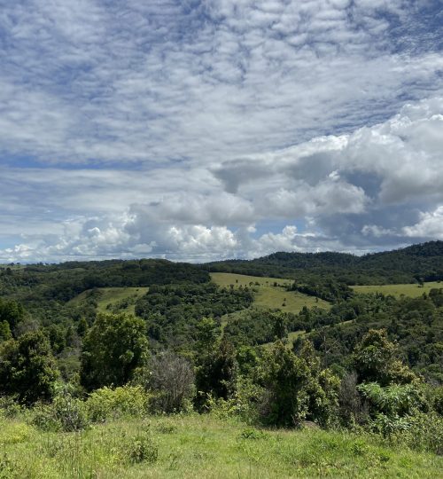
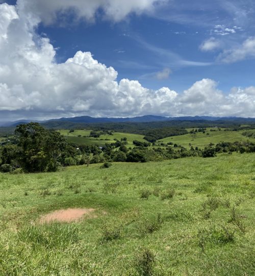
Tropical forests are located mostly in the north-eastern part of Australia. The two PANTROP study sites are both located on Atherton tableland, where an elevation of 700– 1000 m a.s.l., in Queensland (17°23.30 S, 145°35.80 E– 17°27.00 S, 145°38.20 E). On the tableland, there is a marked gradient in rainfall with a distinct dry season (monthly rainfall <100 mm) between July and October (Bureau of Meteorology 2014), where the Northern part of the tableland is drier than the southern part.
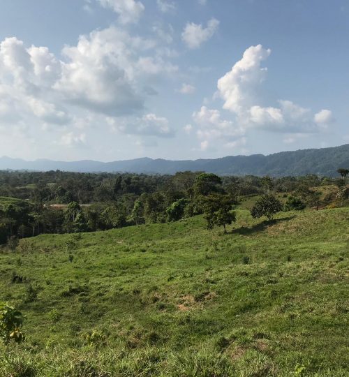
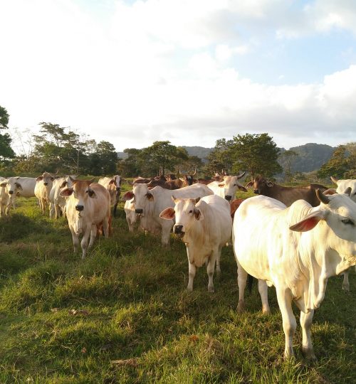
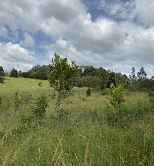
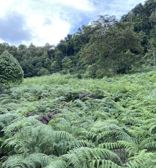
In Australia, the PANTROP study takes place on fallow pasture land in two contrasting forest zones: the dry semi-deciduous forest around Yungaburra (hereafter ‘dry forest’) and wet evergreen forest around Tarzali (hereafter ‘wet forest’). In both areas, farming consists mainly of large-scale intensive farming using machines. Sometimes, farmers plant African grasses (Megthyrsus mazimus), which can be taller than 2m, for the cattle grazing. Remnant trees (i.e., big trees that are left to grow when farmers clear their land of vegetation) are rare but facilitate nucleation and thus, accelerate the forest re-growing. Typically, landscape on the tableland is very mosaic which consists of active and recent abandoned pasture and agricultural field, patch dominated by invasive plants such as bracken fern, young secondary forests and old-growth forests.
The dry forest site
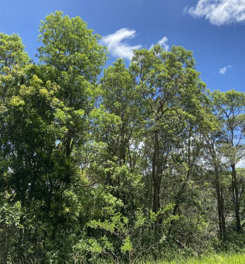
The dry forest site receives about 1400 mm of rainfall per year. Due to the dry nature of the area, this site is prone to fires. As a consequence of fire, there are some areas dominated by Eucalyptus species, which are tolerant to fire. The PANTROP project focuses on forest regrowth on former pasture fields. The tree species that you will typically find in these young re-growing forests are Acacia aulacocarpa, Acacia fasciculifera, Ailanthus triphysa, Alphitonia excelsa, and Ficus superba.
The wet forest site
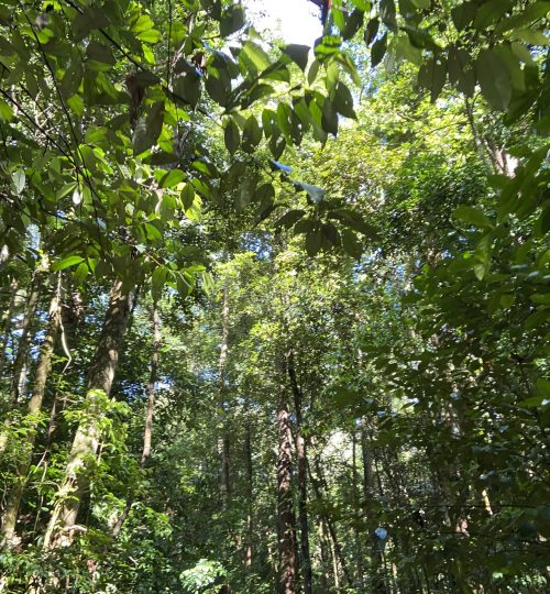
The wet forest receives an annual rainfall of 2200 mm. In the wet forest site, the PANTROP project also focuses on forest regrowth on fallow pasture fields. The tree species that you will typically find in these young re-growing forests are Acacia celsa, Acacia melanoxylon, Alphitonia oblate, Cecropia peltata, Ficus variegate, Macaranga subdentata, and Psidium cattleyanum
Africa
Ghana
Located in West Africa at a latitude and longitude of 8° 00′ N and 2° 00′ W, Ghana is closest to the equator of all three countries in the PANTROP project. Ghana can roughly be divided into two regions: the drier Savannah zone in the north (ca. two thirds of the country’s surface area) and the wetter closed forest zone in the south (ca. one third of Ghana’s surface area). The two PANTROP study sites are located in the south which experiences two rainy seasons per year, which generally last from March until July and September until November (this can vary regionally).
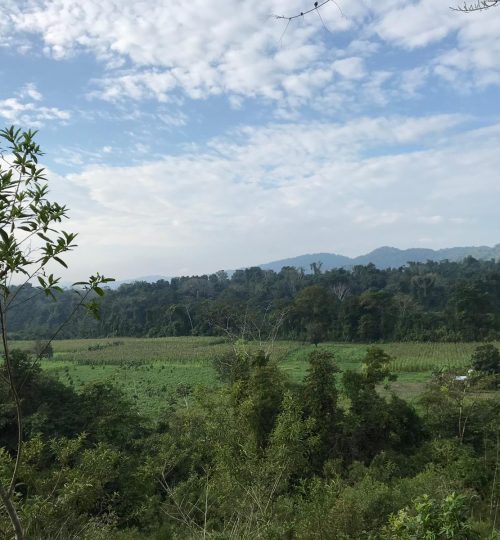
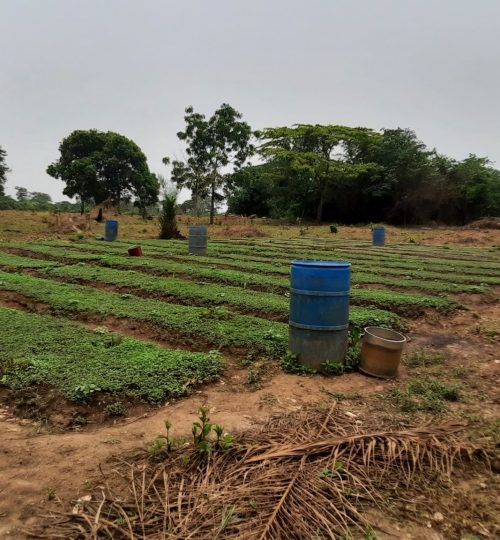
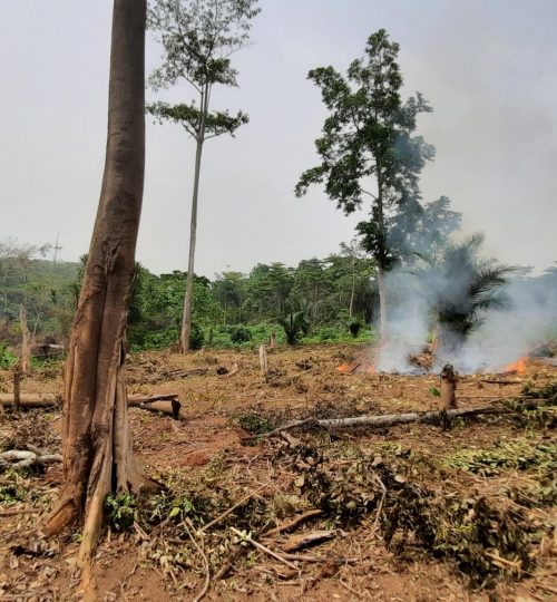
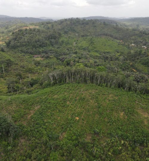
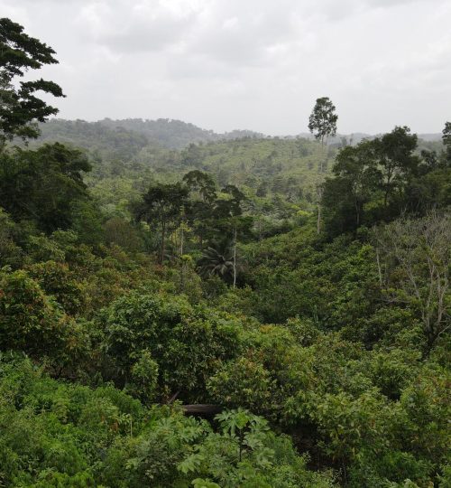
In Ghana, the PANTROP study takes place on fallow agricultural land in two contrasting forest zones: the dry semi-deciduous forest at Abofour (hereafter ‘dry forest’), and wet evergreen forest at Bonsa (hereafter ‘wet forest’). In both areas, farming consists mainly of small-scale subsistence farming. Typically, farmers subdivide their land into several patches some of which are cultivated for a number of seasons until left fallow for multiple years to regain soil fertility. Remnant trees (i.e., big trees that are left to grow when farmers clear their land of vegetation) are a common sight in Ghana’s agricultural landscape and serve to provide shade for the underlying crop field.
The dry forest site
The dry forest site receives about 1250 mm of rainfall per year and temperature ranges between 21˚C and 30˚C. Due to the dry nature of the area, this site is prone to fires that are mostly the result of livelihood activities. To avoid fire damage to crops, the main agricultural practice here is farming of annual crops (incl. maize, cassava, papaya, tomatoes, pepper, ginger, eggplant) but also some perennial crops are cultivated such as the cash-crop cacao.
The PANTROP project focuses on forest regrowth on former maize fields. Only 1 year after agricultural abandonment, the vegetation in the dry forest area can grow up to 3 meters tall with a dense understory, in some places full of lianas or shrubs. The tree species that you will typically find in these young regrowing forests are a mix of mainly pioneer (Baphia nitida, Blighia unijugata, Broussonetia papyrifera, Ceiba pentandra, Ficus exasperata, Funtumia elastica, Morinda lucida, Rauvolfia vomitoria, Sterculia tragacantha) and some climax species (Albyzia zigia, Antiares toxicaria). In Ghana B. papfyeria, or ‘york’, is an invasive exotic species that was originally introduced to evaluate its potential to produce paper. However, now it has become one of if not the most serious invasive species in the closed forest zone of Ghana.
The wet forest site
The wet forest receives an annual rainfall of 1850 mm and temperatures are fairly uniform ranging between 26˚C and 30˚C. In this area, the most important agricultural activity is the cultivation of perennial crops (incl. cacao, cassava, banana, plantain, yam, cocoyam, palm oil).
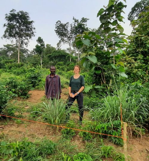
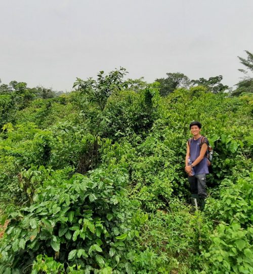
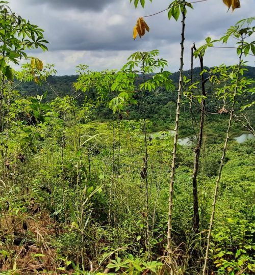
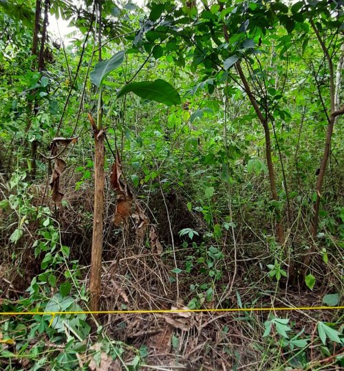
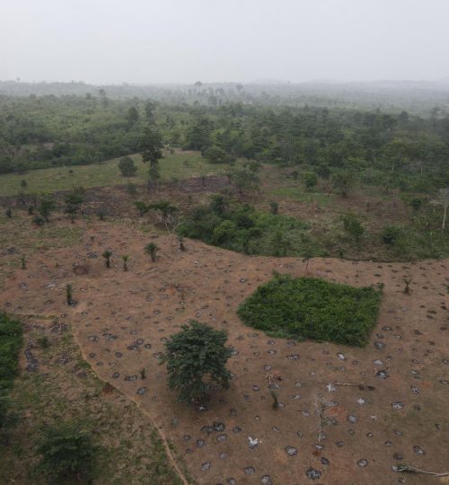
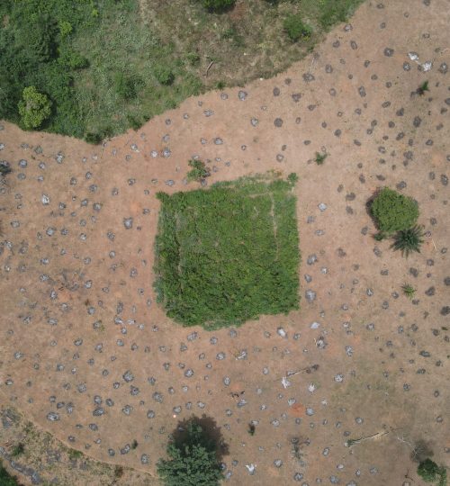
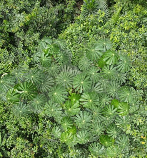
In the wet forest site, the PANTROP project focuses on forest regrowth on fallow cassava fields. After 1 year, the young vegetation can grow up to more than 4 meters tall. The understory here is somewhat more open compared to the understory of young dry forests, although lianas find their way into some of the young wet forest as well. When visiting such a regrowing wet forest, you will come across mainly pioneer species (incl. Anthoclasta vogelii, Baphia nitida, Cecropia peltata, Ficus exasperata, Ficus sur, Harungana madagascariensis, Macaranga barteri, Macaranga hurifolia, Musanga cecropioides, Solanum erianthum, Solanum torvum, Rauvolfia vomitoria) and few climax species (Blighia welwitschii, Funtumia africana).
North America
Mexico
Located in the southern-most stretches of North America, the tropical regions of Mexico span between the Tropic of Cancer (23° 27′ N) and the country’s southern border (14° 31 N). Unlike the northern dry deserts and the temperate mountainous areas, the tropical lowlands of Mexico were covered almost entirely by tropical wet and dry forests, which together harbour over 10% of the national biodiversity, with endemism being more prominent in the dry forests of the Pacific watershed.
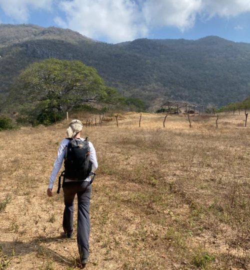
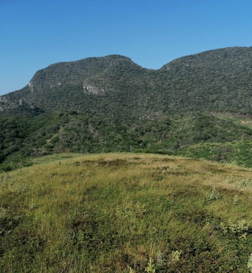
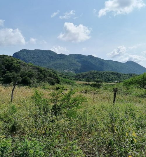
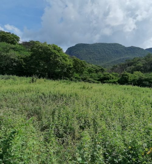
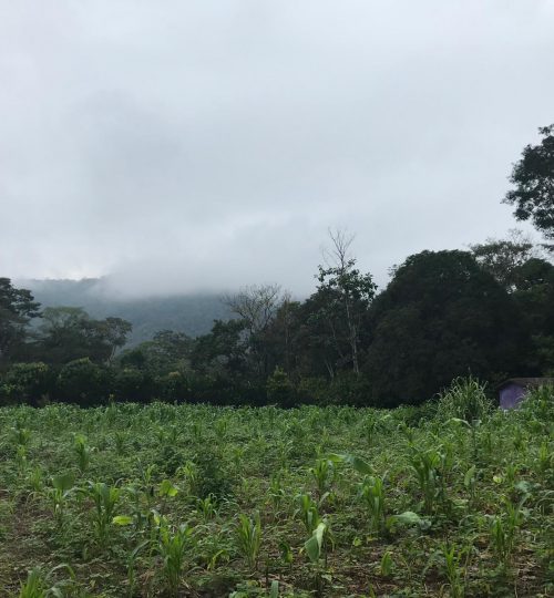
The two PANTROP sites are located almost at the same latitude but under highly contrasting rainfall regimes. One site is located in the tropical dry forest in the surroundings of Nizanda, Oaxaca state, southern Mexico (hereafter ‘dry forest’; 16°39′ 30″ N; 95°00′ 40″ W), close to the coastline of the Pacific Ocean. Nizanda is the driest forest in our PANTROPical study. The second site is found in the tropical rainforest around Loma Bonita, Chiapas state (hereafter ‘wet forest’; 16° 05′ 57″ N; 91° 00′ 04″ W), at the utmost southern part of Mexico, just a few kilometers from the border with Guatemala. Population in both sites is represented by a few hundred people in the respective villages, with the major land uses being agriculture and cattle grazing. Whereas in Loma Bonita cattle grazing is the main land-use, a mixed practice of both traditional agriculture and grazing is more common in Nizanda.
The dry forest site
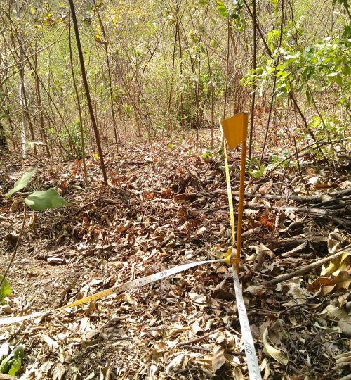
Temperature regime in the area is isothermal, with a mean annual temperature of 27.6 °C (SD, 0.6 °C), while rainfall is highly seasonal, with a mean annual precipitation of 902. 6 mm. Interannual variation is also very high (SD, 351.2 mm). Rainfall events concentrate almost exclusively in the short wet season (June to October). Secondary succession unfolds mostly in abandoned agricultural fields and rarely in abandoned pastures. The early secondary forest is characterised by multi-stemmed thorny trees; dominance is shared by two legumes (Mimosa acantholoba and M. tenuiflora), which are accompanied by a few other species (Acacia cochliacantha, Coccoloba liebmanii, Lonchocarpus torresiorum). Later on in succession, species richness increases rapidly but the dominance of the legume Lysiloma divaricatum is noticeable.
The wet forest site
The mean annual temperature is 25℃ and rainfall in the area is approximately 3000 mm per year, of which 70% is concentrated in the months July to October. Frequently, pasture is sown with exotic grass species, which makes it more difficult for tree species to establish. Early successional woody species are amongst others Ochroma pyramidale, Trema micrantha and Trichospermum mexicanum.
References:
https://www.botanicalsciences.com.mx/index.php/botanicalSciences/article/view/393
https://onlinelibrary.wiley.com/doi/full/10.1111/btp.12491
https://link.springer.com/article/10.1007/s12224-010-9064-7
Liana diversity and reproductive attributes in two tropical forests in Mexico
https://esajournals.onlinelibrary.wiley.com/doi/full/10.1890/07-0207.1
https://www.jstor.org/stable/pdf/4092127.pdf?refreqid=excelsior%3Abb319016529da9fd50201fa4ef0ac964
General Mexico forest refs: https://pdf.usaid.gov/pdf_docs/PA00WFP1.pdf
John C. Hendee, Chad P. Dawson, Wenonah F. Sharpe (2012). Introduction to Forests and Renewable Resources: Eighth Edition. Waveland Press. p. 65. ISBN 9781478608950.
